Verwaltung
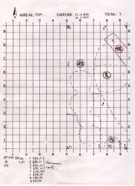
Koordinaten
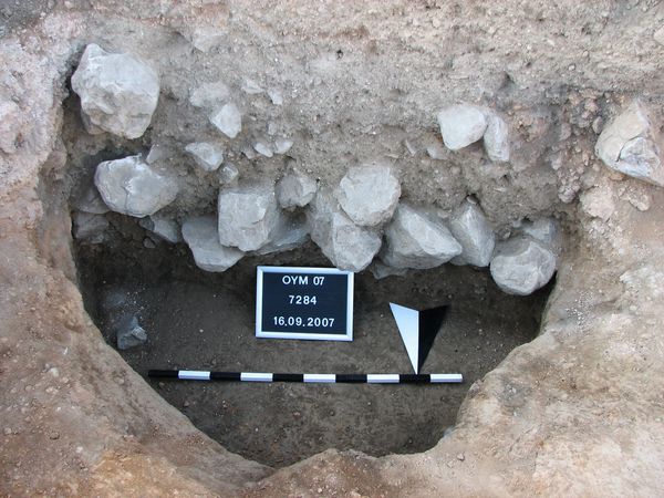
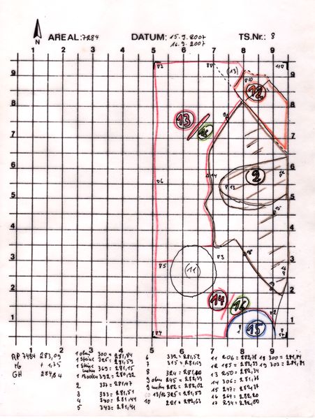
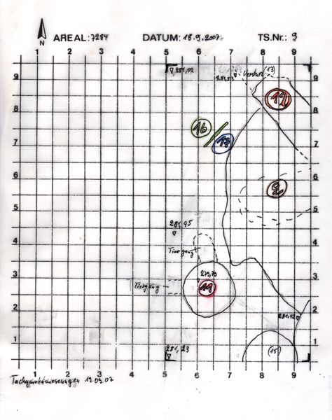
Am S-Profil schneidet in den Versturzhorizont ( Locus:7284:014 ) ein.tief = ca. 1 mD = ca. 1,60 m, leicht unterschnittenGraubraune Erde mit 40 cm starker Steinpackung (281,59 - 281,15) -faustgroße - kopfgroße Steine, manche etwas größer.
Kollektionen
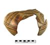
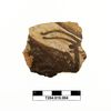
Funde