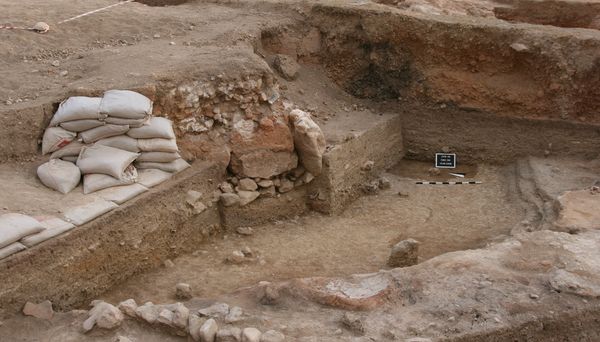
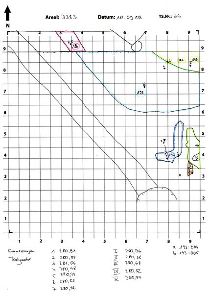
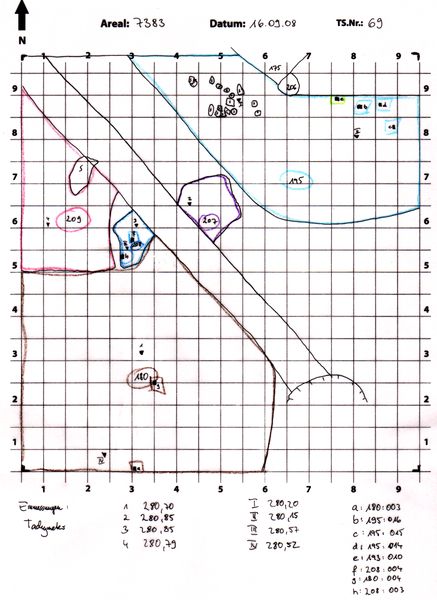
Kontext 7383:195 (Grube) |
![]() |
Verwaltung |
|
Koordinaten |
![]() |
![]() |
![]() |
Einrichtung
Abschluss |
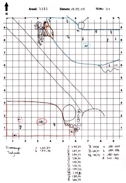
10.09.2008
18.09.2008 |
|
Ost
Nord
Höhe von bis |
3.20 bis 9.50
6.00 bis 9.99
280.53 bis 279.98
|
|
-erste und äußerste Schicht in der großen Fundamentgrube
-gelbgraues, leicht klumpiges, sehr lehmiges Material
-wird später auf gesamte untere Fundamentgrube ausgedehnt
|
| |
|
Kollektionen
|
| |
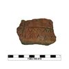
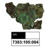
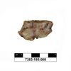
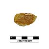
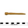
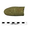
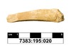
Funde
|
| |
| |
|
![]() |
|
| |
![]() |
|
3015 von 3544 |
|
Areal (Jahr) |
alle (alle) |
|
Sortierung |
kontextid DESC |
|
|
| |
![]() |
| |
|
|
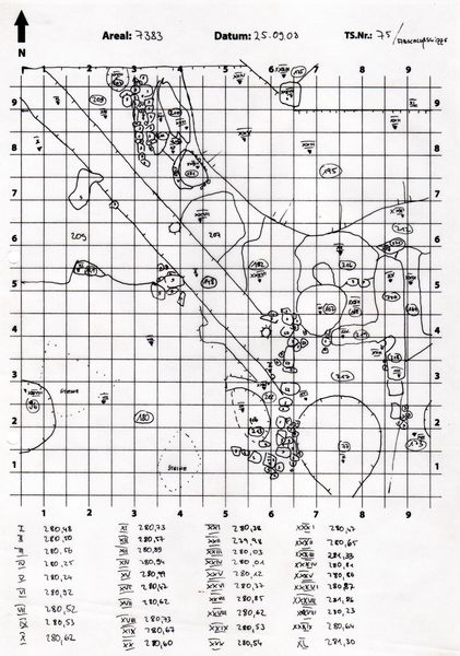
Tagesskizzen / Plana |
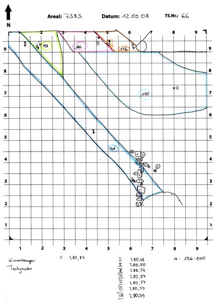
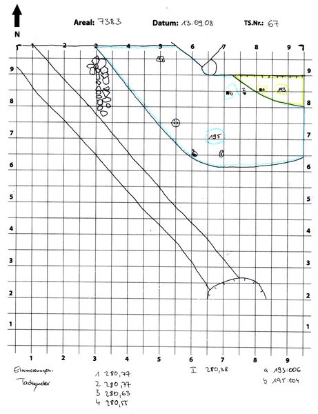
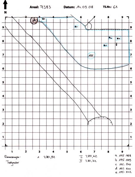
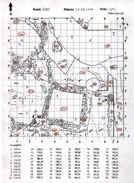
TS-7383-075-kumulativ nicht entzerrt.tif.tif
|
|
|
| |
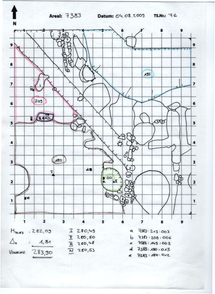
Der Locus liegt direkt unter |
![]() |
![]() |
7383:191 (Ablagerung) |
![]() |
|
| |
|