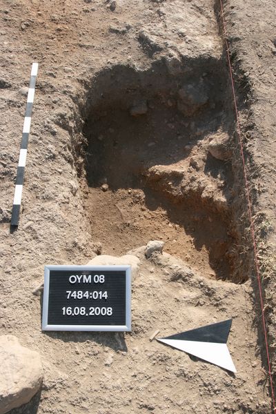
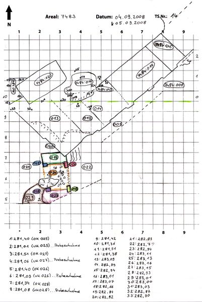
Kontext 7484:014 (Grube: Erdgrube) |
![]() |
Verwaltung |
|
Koordinaten |
![]() |
![]() |
![]() |
Einrichtung
Abschluss |
13.08.2008
13.08.2008 |
|
Ost
Nord
Höhe von bis |
4.00 bis 5.00
0.50 bis 1.20
283.04 bis 282.70
|
|
Am Südprofil, ins Südprofil hineinlaufend.
Graue, leicht aschige, sehr lockere Erde
|
| |
|
Kollektionen
|
| |
| |
| |
|
![]() |
|
| |
![]() |
|
1 von 106 |
|
Areal (Jahr) |
7486 (alle) |
|
Sortierung |
kontextid DESC |
|
|
| |
![]() |
| |
|
|
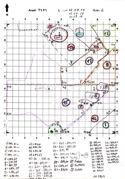
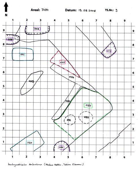
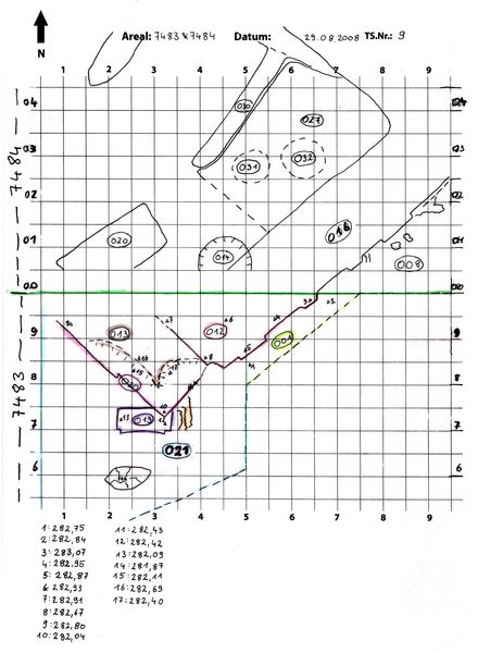
Tagesskizzen / Plana |
|
|
| |
Der Locus liegt direkt unter |
![]() |
![]() |
7484:001 (Oberfläche) |
![]() |
|
| |
|