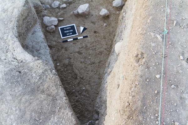
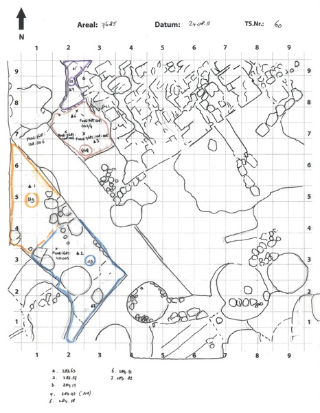
Layer Locus:7685:109 represents the northern half of the (open) space situated in-between wall Locus:7685:038 (east), wall Locus:7685:080 (east) and wall Locus:7685:083 (south); layer Locus:7685:110 the southern part.
The loci were singled out in order to investigate whether a wall feature might be reconstructed from the stones marking the top of this layer.
No wall feature was recognized. Instead Locus:7685:109 and Locus:7685:110 mark the level below which the (first layer of) foundation stones of the respective (unburnt) mud-brick walls started to appear (see Locus:7685:113 ).
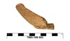
The soil is loose and yellowish-grey in color. It contained small stones, pieces of (burnt) mud-brick, bits of chalk, potsherds and fragments of animal bone.