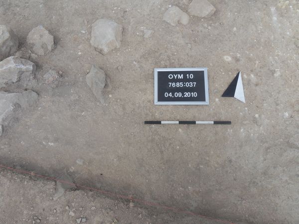
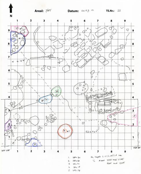
Locus:7685:037 can be identified as a pit, located in the southwest corner of the square - adjacent to tomb Locus:7685:018 .
The color of the soil is grayish brown. Its consistency is loose. The soil contains small stones, pieces of burnt mud-brick, white chalky material, bits of charcoal, roots and little pottery.
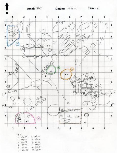
16.09.10
The bottom of Locus:7685:037 consists of a relatively hard yellowish layer, the slope of which can be clearly observed in the south section of excavation unit 7685. The slope drops gradually after which it (i.e. when it reaches the bottom) gently rises. The yellow layer can be identified as a shallow pit or (German term) Rinne, which may have been produced or caused by natural forces (rain?). Locus:7685:037 can therefore be interpreted as the fill above the above-mentioned yellow layer. Locus:7685:037 and the yellow layer appear to have been disturbed by a younger pit, referred to as Locus:7685:043 .