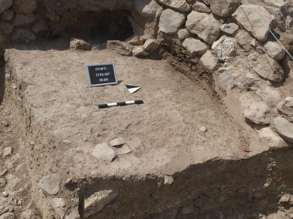
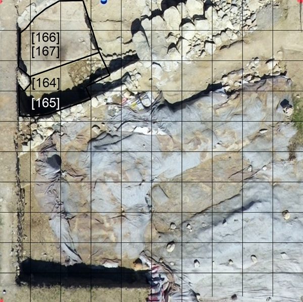
Locus:7785:167 the stones on the west side seem to become something like a wall and get a new number: Locus:7785:168 some other stones in the south east corner remain stones but are also visible on the section. In the soil are some concentrations of small gravel like stones and on the west side is a large spot with red burnt mud material. All finds are of this whole surface.
Bottom elevations: sw 282.54, nw 282.62, n middle 282.50, s middle 282.54, ne 282.44 and se 282.54. Coordinates: east 0.50 till 3.55, North 6.15 till 9.99.