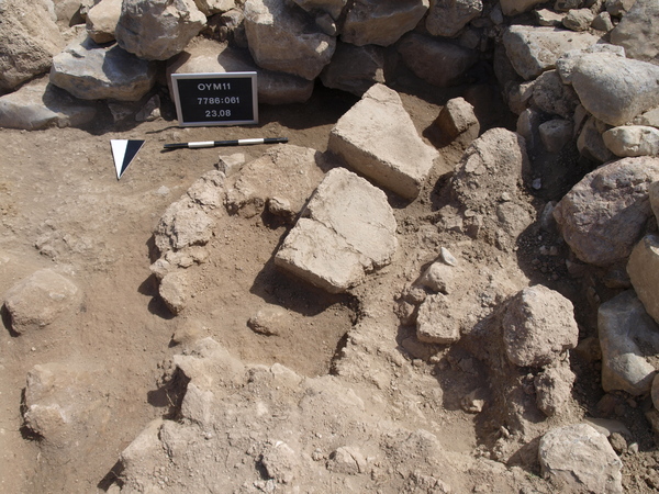
Locus:7786:061 This is the a wide strip was set out over the layer with the reddish burnt mudbrick debris that slopes down from the wall. The idea is to create a section over the debris between Locus:7786:048 and Locus:7785:045. In this debris were two mudbrick fragments that were already exposed and drawn in 2009. It was possible to get some information from them: both have one complete side which length is 36 cm. The broken off sides are 36 and 34 cm and the height / thickness is 13 and 12.5 cm. Many smaller fragments are in the debris. After photographing the pieces were removed and the large fragments were saved for closer studying.