Ausgrabung  =>  Areal 7786   =>  7786:081

Kontext 7786:081 (Ablagerung)

Verwaltung


Koordinaten


Einrichtung
Abschluss

03.09.2011
 

Ost
Nord
Höhe von bis

2.20 bis 3.50
5.55  bis 6.80
282.74  bis 282.68


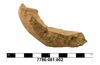
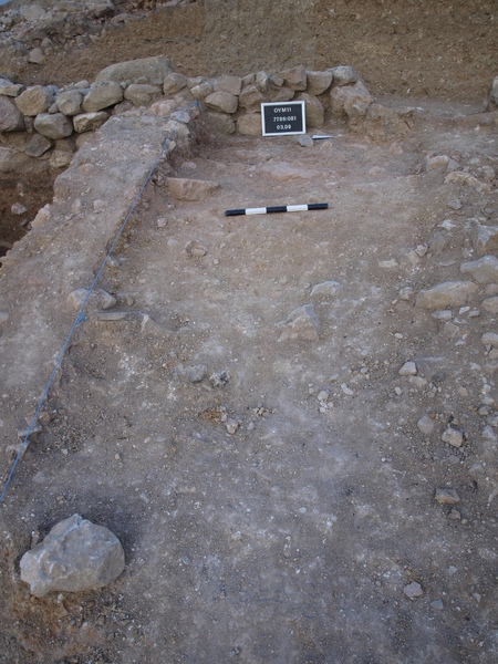
Locus:7786:081 , the former [076], was first excavated. This is the top of the strip next -north- to the ‘deep sounding’ In this red burnt debris layer are some large mud-brick pieces and fragments preserved. Some pottery was collected under which one complete profile. Bottom elevations: w 282.68 and e 282.60. Coordinates: East 2.20 till 3.50 and North 5.55 till 6.80


Kollektionen

7786:081:001
 

Funde

7786:081:002
lupe


Seite
1862 von 3468
Areal (Jahr)
alle (alle)
 
Sortierung
kontextid DESC


   Tagesskizzen / Plana
  
  TS-7786-028


© Oymaagac-Nerik-Forschungsprojekt 2005 - 2011      |      erstellt von datalino 2008 - 2011      |      Kontakt      |      Impressum