Ausgrabung  =>  Areal 7786   =>  7786:087

Kontext 7786:087 (Ablagerung)

Verwaltung


Koordinaten


Einrichtung
Abschluss

03.09.2011
04.09.2011
 

Ost
Nord
Höhe von bis

3.15 bis 4.80
3.50  bis 6.00
281.45  bis 281.26


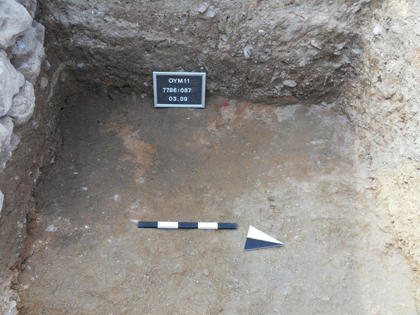
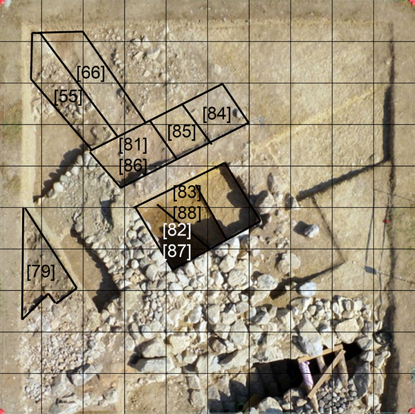
Locus:7786:087 this is the former [82] this is the brown soil with burnt remains. The surface get smaller and smaller as the trench gets deeper as a result of the slanting sloping surface of the yellow hard natural soil that was cut deep into the sloop of the mount.
Bottom elevation: 281.26 Coordinates East: 3.15 till 4.80, North: 3.50 till 6.00
Finds:
Fund:7786:087:001 pottery


Kollektionen

7786:087:001


Seite
1856 von 3468
Areal (Jahr)
alle (alle)
 
Sortierung
kontextid DESC


   Tagesskizzen / Plana
  
  TS-7786-028


© Oymaagac-Nerik-Forschungsprojekt 2005 - 2011      |      erstellt von datalino 2008 - 2011      |      Kontakt      |      Impressum