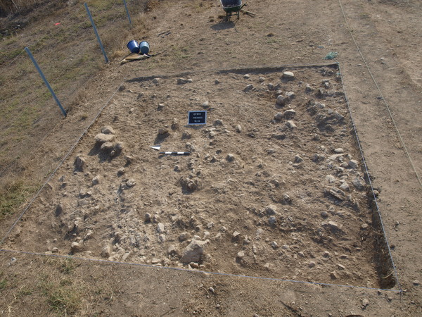
ILocus:7787:003
The trench is after the excavation of this locus divided in two almost equal parts, a diagonal line runs from NW to SE and in the west part it is filled with stones of different sizes and the east part is yellowish hard soil. Over the yellow surface run some grey strips that are the remains of filled plough tracks. They can be the easiest seen in the yellow part but can with some difficulty also be traced between the stones.
The north-west corner is a soft grey soil without stones.
Elevations: sw 283.21, nw 282.46, ne 281.61, se 278.75 and the middle 282.42. Coordinates: East 0.50 – 5.00 and North 0.50 – 5.00.