Kontext 7884:001 (Oberfläche: Top soil) |
![]() |
Verwaltung |
|
Koordinaten |
![]() |
![]() |
![]() |
Einrichtung
Abschluss |
30.07.2010
30.08.2015 |
|
Ost
Nord
Höhe von bis |
0.00 bis 9.50
0.00 bis 9.99
281.31 bis 277.67
|
|
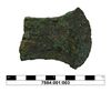
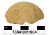
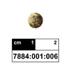
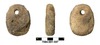
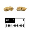
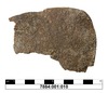
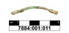
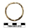
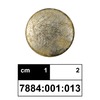
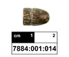
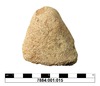
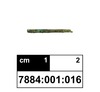
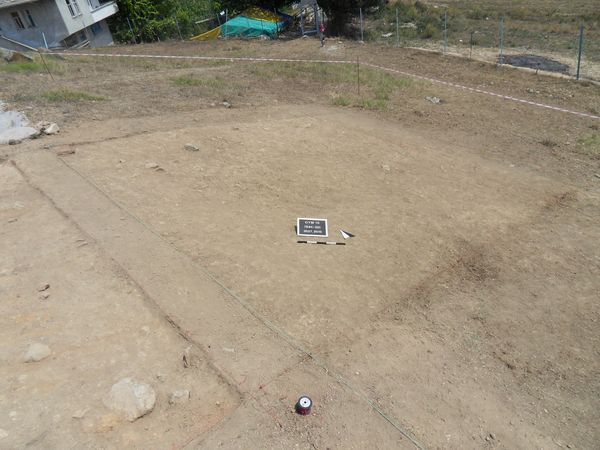
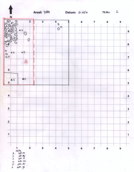
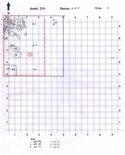
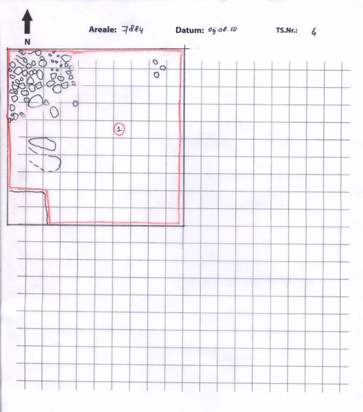
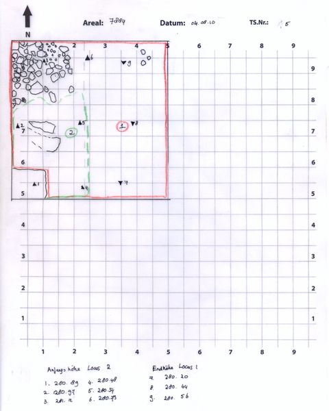
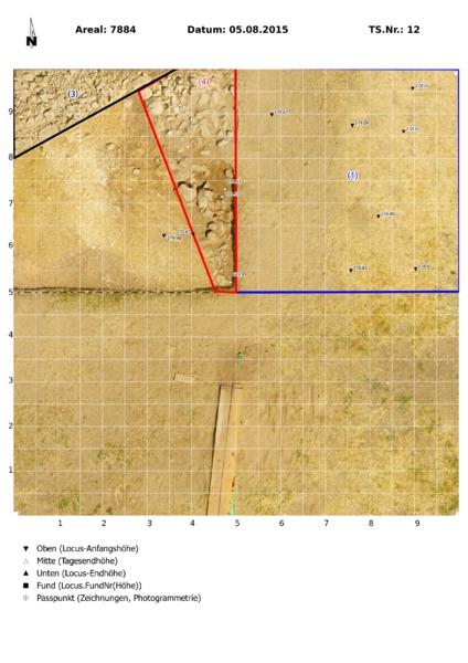
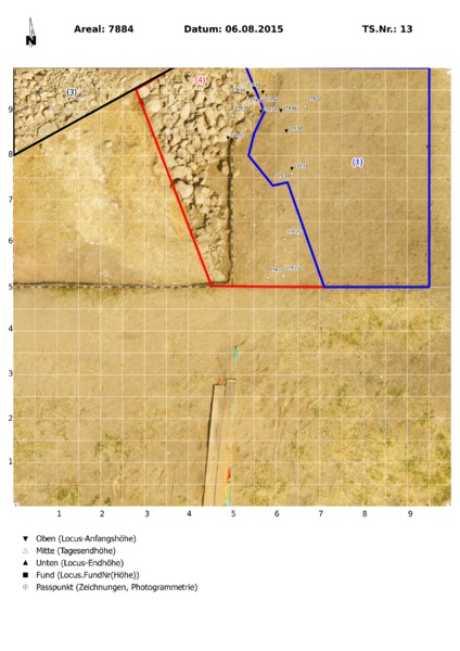
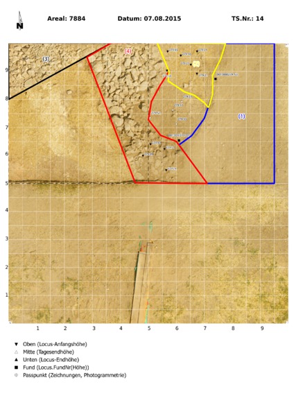
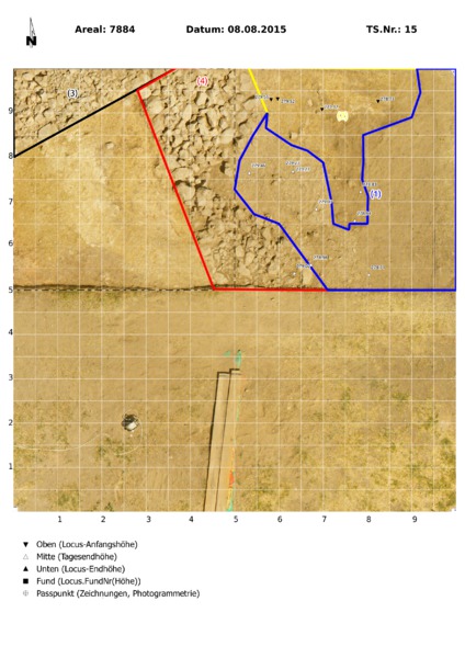
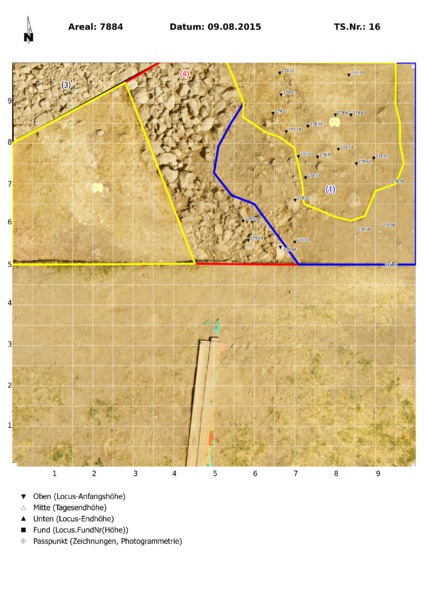
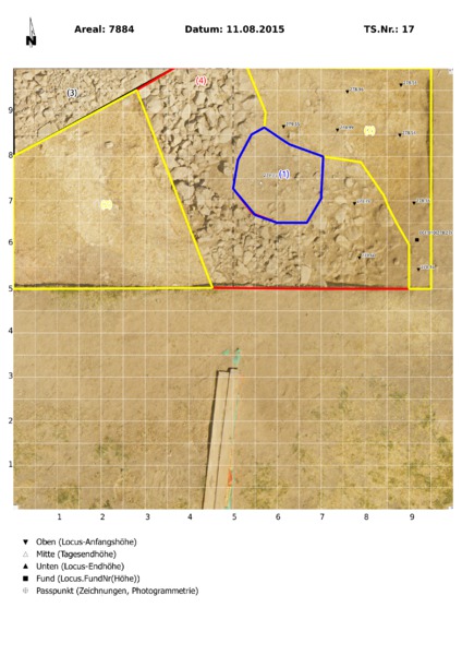
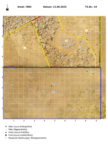
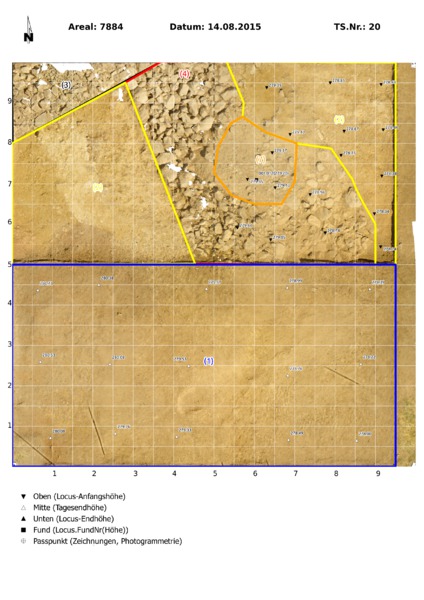
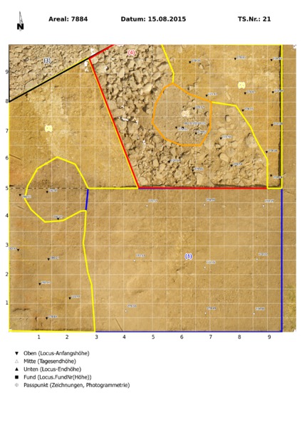
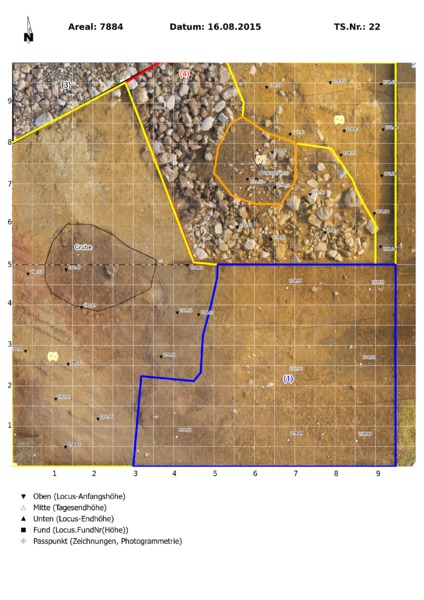
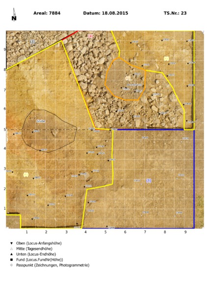
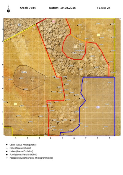
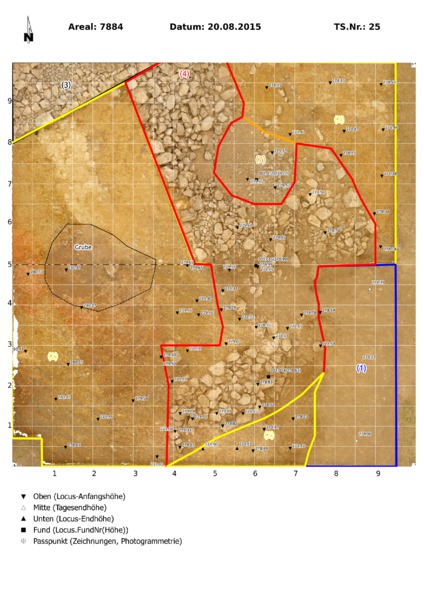
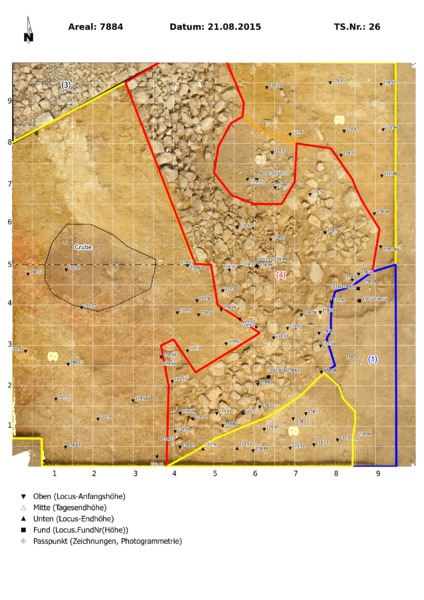
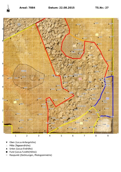
Locus:7884:001 can be identified as a top soil erosion layer. It contains roots, small-medium sized stones, small-medium sized potsherds, large chunks of mud-brick and (animal) bone.
The soil color and consistency may be described as grayish-brown and medium-heavy respectively.
|
| |
|
Kollektionen
|
| |
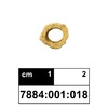
Funde
|
| |
| |
|
![]() |
|
| |
![]() |
|
2608 von 3658 |
|
Areal (Jahr) |
alle (alle) |
|
Sortierung |
kontextid DESC |
|
|
| |
![]() |
| |
|
|
Tagesskizzen / Plana |
|
|
| |
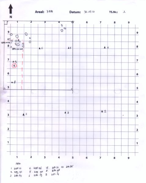
Der Locus liegt direkt über |
![]() |
|
![]() |
|