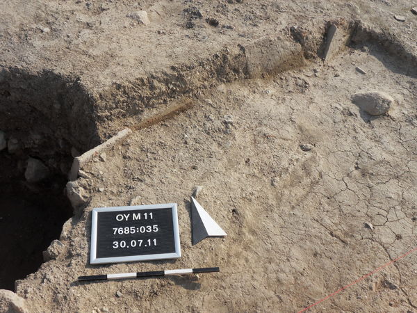
Kontext 7685:035 (Grab: Tile grave V, west of pit Locus:7685:020) |
![]() |
Verwaltung |
|
Koordinaten |
![]() |
![]() |
![]() |
Einrichtung
Abschluss |
03.09.2010
02.08.2011 |
|
Ost
Nord
Höhe von bis |
6.00 bis 7.10
1.40 bis 2.50
283.75 bis 283.62
|
|
Locus:7685:035 can be identified as a tile-grave similar to (e.g.) Locus:7685:006 and Locus:7685:007 .
The tomb appears to have been sunk into pit Locus:7685:029 and/or Locus:7685:034 .
The tomb fill consists of loose greyish-brown soil, containing roots, small stones, white chalky material and a good many potsherds.
Note that the tomb is disturbed by a later tomb - Locus:7685:040 .
31.07.11
The tomb has been continued to be dug. Locus:7685:035 appears to refer to the tomb fill or pit fill, which seems to be supported (along its outer edges) by the upright-standing roof tiles. The actual tomb is located at the bottom of the 'shaft'. A series of stones (originally interpreted as cover stones) seal off the inhumation, whose head can be seen protruding from the east wall of pit Locus:7685:034 . The pit fill consists of relatively loose grayish-brown soil. Only little pottery was found. At the level of the stones, the earth begins to change. The material turns very loose and seems to be associated with the fill below the stones, which are referred to as Locus:7685:048 .
Note that the alleged cover stones turned out to be part of the collapsed fill of the tomb. For more details see Locus:7685:051 .
|
| |
|
Kollektionen
|
| |
| |
| |
|
![]() |
|
| |
![]() |
|
277 von 311 |
|
Areal (Jahr) |
7685 (alle) |
|
Sortierung |
kontextid DESC |
|
|
| |
![]() |
| |
|
|
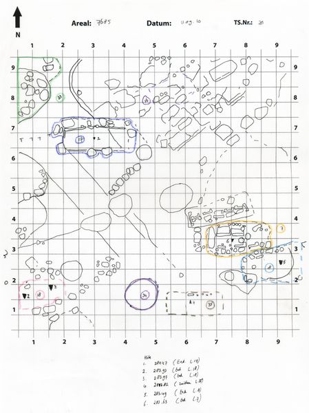
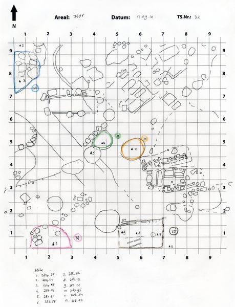
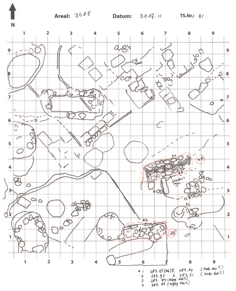
Tagesskizzen / Plana |
|
|
| |
Der Locus liegt direkt unter |
![]() |
![]() |
7685:005 (Grab) |
![]() |
|
| |
Der Locus liegt direkt über |
![]() |
![]() |
7685:048 (Grab) |
![]() |
|
![]() |
|