Kontext 7685:043 (Grube: Pit in southwest corner of excavation unit 7685) |
![]() |
Verwaltung |
|
Koordinaten |
![]() |
![]() |
![]() |
Einrichtung
Abschluss |
16.09.2010
10.08.2011 |
|
Ost
Nord
Höhe von bis |
1.18 bis 1.74
0.50 bis 1.53
283.88 bis 283.05
|
|
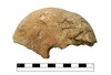
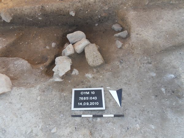
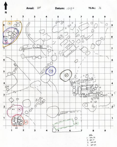
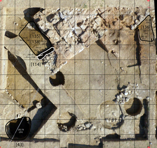
Pit Locus:7685:043 is located in the southwest corner of excavation unit 7685. The top of Locus:7685:043 is marked by a series of medium-sized stones and a, largely, unburnt mud-brick (dimensions).
The color of the soil is blackish-brown. Its consistency is very loose. The soil contains small stones, pieces of burnt mud-brick, white chalky material, bits of charcoal, pottery and little bone.
Size of stones:
Average dimensions 20 cm x 20 cm x10 cm; smaller stones 15 cm x 10 cm x 10 cm
From final report excavation unit 7685 (JE):
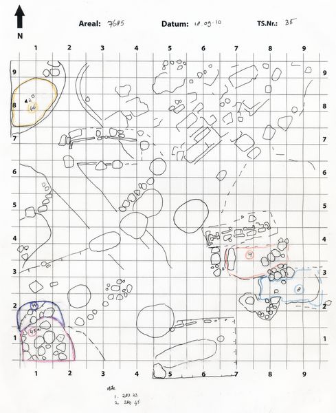
Locus:7685:043 and Locus:7685:044 are located in the southwest corner of excavation unit 7685. Locus:7685:043 and Locus:7685:044 offer a rare instance of so-called reversed stratigraphy, which means that an older layer is deposited on top of a younger one, rather than the other-way-around.
The stratigraphic order was reversed due to the fact that Locus:7685:043 , which is bell-shaped in form (German Glockengrube) - i.e. relatively narrow at the top and broadening and/or widening towards the bottom - under-cut (German unterschneidet) the lower portion (i.e. widened) of the fill of Locus:7685:044 . Consequently, part of the fill of Locus:7685:043 was found below Locus:7685:044 , which represent the earliest pit, cut and/or disturbed by Locus:7685:043 .
Bild no. 14721 shows the situation at the end of the excavation (19.09.10). The stones visible along the outer edges of the pit are - partially - protruding from a yellowish layer. Save for the big stone in the south section of excavation unit 7685, which, still, belongs to the fill of Locus:768:043, the outer stones appear to be developing into a relatively regular, stone-lined circle. One possibility is that Locus:7685:043 , originally, would have been walled up.
Another interesting feature is constituted by the increasing humidity of the fill of Locus:7685:043. Admittedly, on 13.09.10 a strong rain shower crossed the site. However, the deeper we dig, instead of diminishing, the humidity of the soil only seems to be increasing. ?Dry ground? has not been reached yet. An explanation is not readily available (cistern?).
The stones on the north side of Locus:7685:043 (cf. Bild no. 14721) seem to form a wall, which could either belong to Locus:7685:043 or may be interpreted as an earlier wall (LBA?), coinciding with the bottom of the adjacent, older pit, Locus:7685:044 .
2011
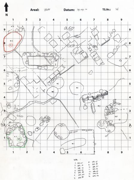
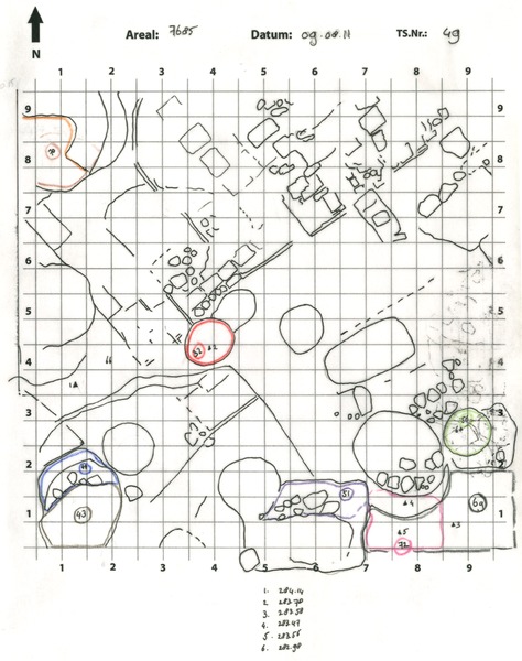
The stone-lined circle mentioned in last year's final report still belonged to the original fill of the pit. The pit was not walled-up. Pit Locus:7685:043 continued to be dug. An artificial in-between level is identified with pit Locus:7685:139 .
Pit Locus:7685:043 / Locus:7685:139 was dug through the unburnt mud-brick wall Locus:7685:086 / Locus:7685:087 .
|
| |
|
Kollektionen
|
| |
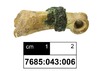
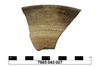
Funde
|
| |
| |
|
![]() |
|
| |
![]() |
|
2346 von 3658 |
|
Areal (Jahr) |
alle (alle) |
|
Sortierung |
kontextid DESC |
|
|
| |
![]() |
| |
|
|
Tagesskizzen / Plana |
|
|
| |
Der Locus liegt direkt unter |
![]() |
![]() |
7685:037 (Grube) |
![]() |
|
| |
Der Locus liegt direkt über |
![]() |
![]() |
7685:139 (Grube) |
![]() |
|
![]() |
|