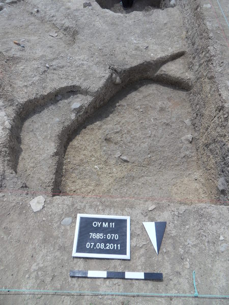
Kontext 7685:070 (Grube: Pit in northwest corner of trench) |
![]() |
Verwaltung |
|
Koordinaten |
![]() |
![]() |
![]() |
Einrichtung
Abschluss |
07.08.2011
09.08.2011 |
|
Ost
Nord
Höhe von bis |
0.15 bis 1.75
7.50 bis 8.85
284.38 bis 284.05
|
|
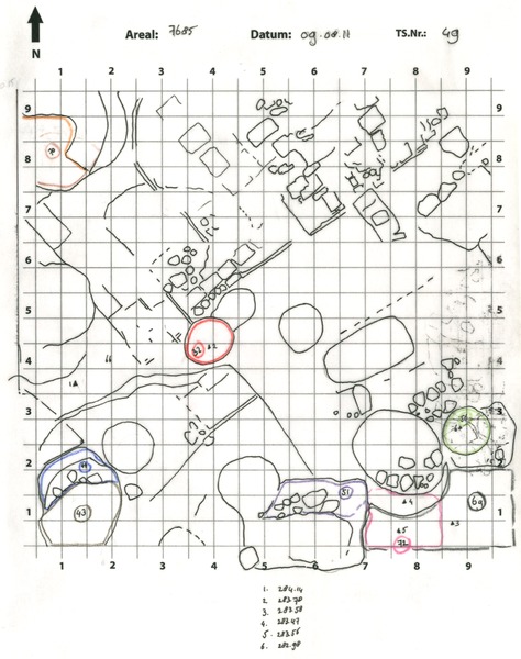
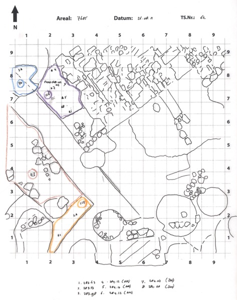
Pit Locus:7685:070 represents the continuation of pit Locus:7685:027 / Locus:7685:033 . The pit has cut wall Locus:7685:038 , which can be recognized in the south and west section of pit Locus:7685:070 .
The northern edge of the pit is marked by a hard yellowish mud-brick surface, which may turn out to belong to wall Locus:7685:038 . A corner might be reconstructed here (observation was later confirmed).
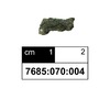
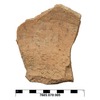
The soil contained medium-sized pieces of pottery and fragments of animal bone.
09.08.11
The bottom of the pit appears to have been reached. The soil, which is very moist in character, started to change. Yellowish dirt began to appear. In fact, these yellow 'discolorations' can probably be identified with unburnt (yellow) mud-bricks, the outline of which is visible in the west section of the pit.
|
| |
|
Kollektionen
|
| |
Funde
|
| |
| |
|
![]() |
|
| |
![]() |
|
2169 von 3544 |
|
Areal (Jahr) |
alle (alle) |
|
Sortierung |
kontextid DESC |
|
|
| |
![]() |
| |
|
|
Tagesskizzen / Plana |
|
|
| |
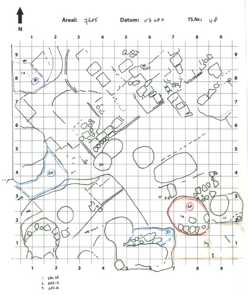
Der Locus liegt direkt unter |
![]() |
![]() |
7685:046 (Grube) |
![]() |
|
| |
Der Locus liegt direkt über |
![]() |
![]() |
7685:143 (Ablagerung) |
![]() |
|
![]() |
|