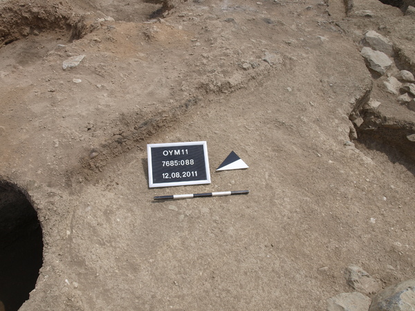
Kontext 7685:088 (Versturz: Destruction layer adjacent to wall Locus:7685:038)
Verwaltung
Koordinaten
Einrichtung
Abschluss
13.08.2011
20.08.2011
Ost
Nord
Höhe von bis
4.50 bis 7.00
1.80 bis 4.00
284.18 bis 283.73
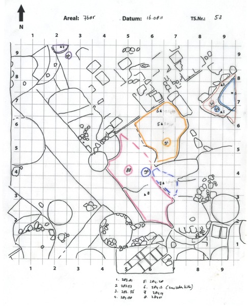
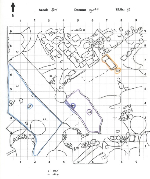
Locus:7685:088 had originally been interpreted as (part of) a wall. However, based on the cross-section visible in the west profile of pit Locus:7685:058 / Locus:7685:068 , Locus:7685:088 could be identified as a (hard-burnt) destruction layer.
Locus:7685:088 contains little pottery and only few pieces of (burnt) animal bone. Only little dirt was excavated. Layer Locus:7685:088 primarily consisted of hard-burnt (blackish) mud-brick material and stones.
The cross-section of pit Locus:7685:058 / Locus:7685:068 indicates that layer Locus:7685:088 is deposited on top of a blackish (destruction?) layer. The same layer had previously been observed (2010) in the east section of pit Locus:7685:039 and at the bottom of pit Locus:7685:030 .
The above-mentioned blackish layer was later identified with floor Locus:7685:112 .