Ausgrabung  =>  Areal 7784   =>  7784:001

Kontext 7784:001 (Oberfläche: Top soil)

Verwaltung


Koordinaten


Einrichtung
Abschluss

04.09.2009
30.07.2010
 

Ost
Nord
Höhe von bis

5.00 bis 9.50
5.00  bis 9.99
282.37  bis 281.45


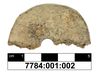
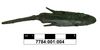
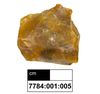
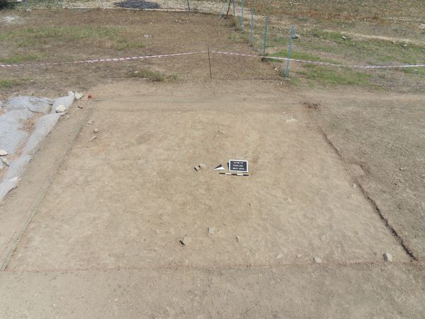
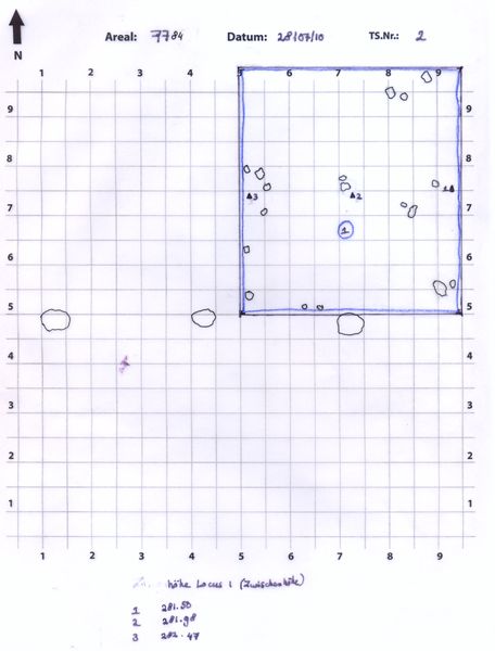
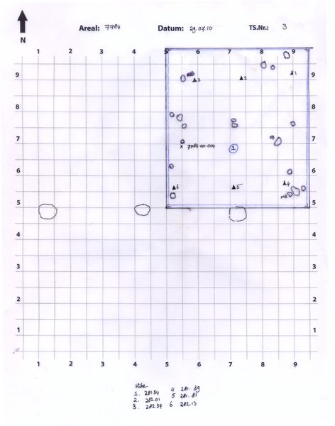
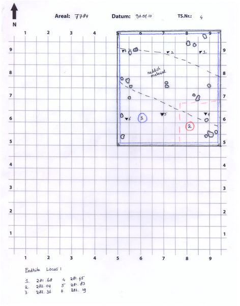
Locus:7784:001 can be identified as a top soil erosion layer. It contains roots, (small-medium sized) stones, (small-medium sized) potsherds, pieces of mud-brick, bits of charcoal and (animal) bone.

The soil color and consistency may be described as grayish-brown and medium-heavy respectively. A number of (reddish-, grayish- and yellowish) discolorations could be observed.


Kollektionen

7784:001:001
7784:001:003
 

Funde

7784:001:002
lupe
7784:001:004
lupe
7784:001:005
lupe


Seite
2563 von 3468
Areal (Jahr)
alle (alle)
 
Sortierung
kontextid DESC


   Tagesskizzen / Plana
  
  TS-7784-002
  TS-7784-003.tif
  TS-7784-004.tif
  TS-7784-007
 
   Der Locus liegt direkt über
7784:002   (Versturz)


© Oymaagac-Nerik-Forschungsprojekt 2005 - 2011      |      erstellt von datalino 2008 - 2011      |      Kontakt      |      Impressum