Ausgrabung  =>  Areal 7785   =>  7785:169

Kontext 7785:169 (Ablagerung)

Verwaltung


Koordinaten


Einrichtung
Abschluss

02.09.2011
 

Ost
Nord
Höhe von bis

0.50 bis 3.55
6.15  bis 9.99
282.52  bis 


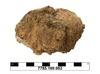
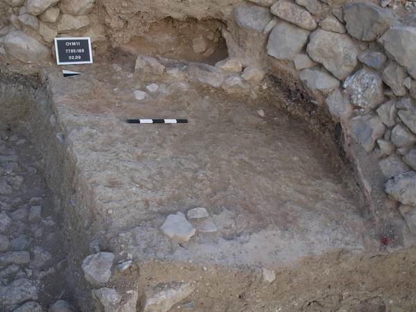
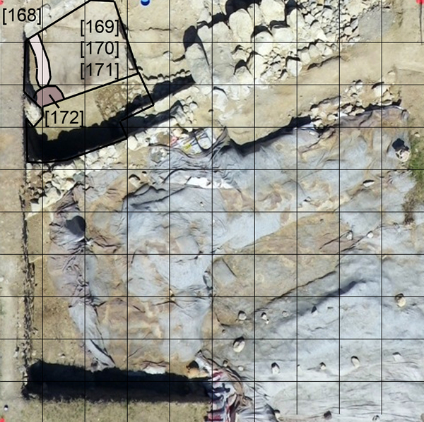
Locus:7785:169 this is mostly yellow-brown soil, with a path of red burnt mud material just before the stones in the west: Locus:7785:168. Elevations: Sw 282.51, nw 282.52, ne 282.39 se 282.44 and s middle 282.48. Coordinates: east 0.50 till 3.55, North 6.15 till 9.99.
Lots of sherds and reasonable numbers of bone fragments were collected.


Kollektionen

7785:169:001
7785:169:002
 

Funde

7785:169:003
lupe


Seite
1870 von 3468
Areal (Jahr)
alle (alle)
 
Sortierung
kontextid DESC


   Tagesskizzen / Plana
  
  TS-7785-048


© Oymaagac-Nerik-Forschungsprojekt 2005 - 2011      |      erstellt von datalino 2008 - 2011      |      Kontakt      |      Impressum