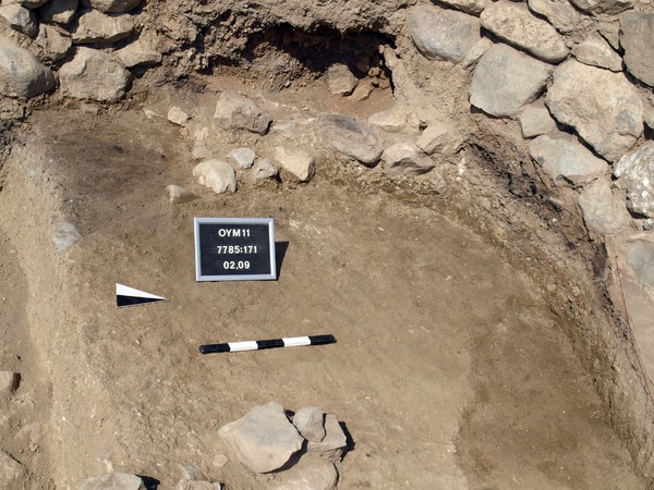
Locus:7785:172 is the half preserved circular feature on the line of the section. Inside the circle shape is grey clayish clay with some charcoal pieces and very many sherds; some very small but many larger than normal. They are often found flat but also slanting of even almost vertical, an indication for a rapid forming of this layer. Vertical sherds indicate dumping of rubbish in a pit or in a thick refuse layer. The fact that the sherds are large indicates that this was not a surface where people throttled a lot. In this rubbish is however almost no bone material.
The circle shape visible as a brown edge seems not to be the border of the grey clayish material, that appears to run under it to the north and east….
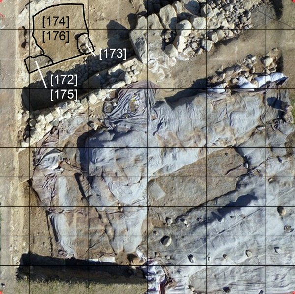
This grey layer was also excavated in the sounding that was dug to confirm the presence of the pavement Locus:7785:164 here again an unusual amount of pottery was found.
Top elevation 282.45 – bottom elevation 282.40 Coordinates: East 0.80 till 1.50 and North 7.50 till 8.00.