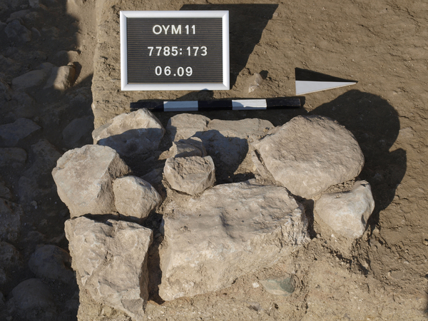
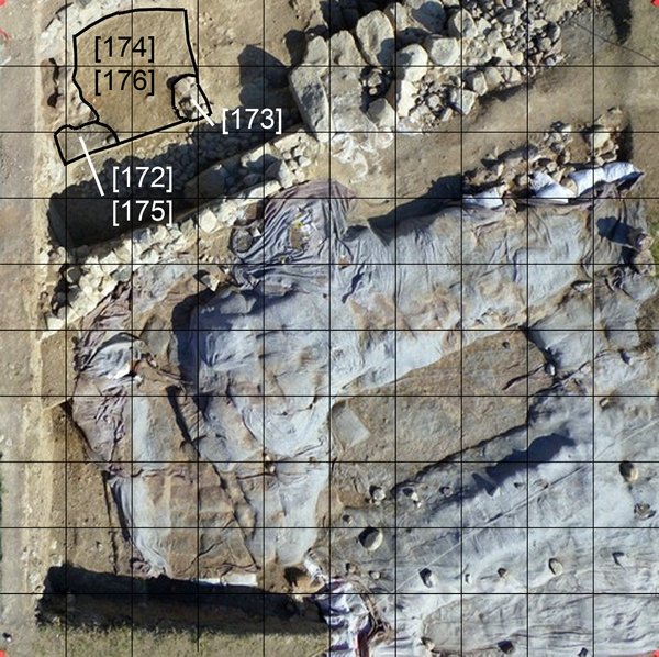
Locus:7785:173 it the stone concentration in the west end of the total area in front of the tunnel entrance. They seem to be some kind of very short wall or the like. Around it were some ‘lonely’ stones that were removed. For the clearness, ‘lonely’ stones are stones that have no connection to any other structure or stone in horizontally way and ‘flying’ stones are stones that have no connection in vertical way and come to stand on a earth pedestal. If this is the case it is time to remove them. Top elevation: 282.45. East coordinates: 2.70 till 3.15 and North 8.15 till 8.90.
06-IX-2011
Locus:7785:173 the stone cluster in the SE corner of the excavated area is photographed, drawn before, and is now removed. It is only one stone thick and can be something like the support for a post or the like. However this can never be proven. Bottom elevations w side stone: 282.23, e side stone: 282.21.