Ausgrabung  =>  Areal 7786   =>  7786:062

Kontext 7786:062 (Ablagerung)

Verwaltung


Koordinaten


Einrichtung
Abschluss

26.08.2011
 

Ost
Nord
Höhe von bis

3.15 bis 6.35
3.55  bis 6.20
282.83  bis 282.31


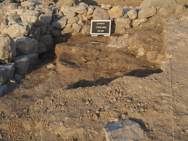
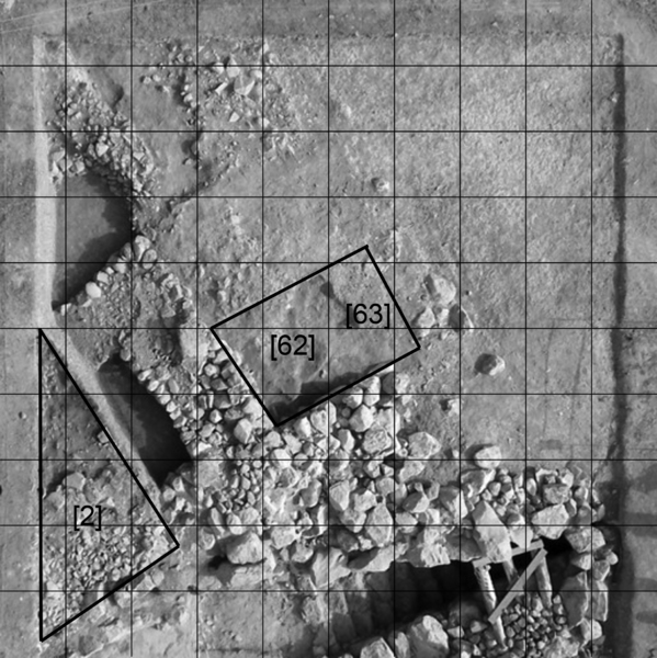
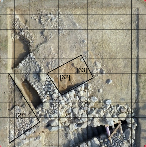
Locus:7786:062 this locus is bordered in the south by wall Locus:7786:015 in the west by Locus:7786:048. In the east Locus:7786:045 and in the north by a artificial line to mark a section line. Locus 062 is red – orange burnt mudbrick debris.
Some large fragments were photographed in situ before being removed. These bricks were at an elevation of circa 282.31.


Kollektionen

7786:062:001


Seite
1940 von 3468
Areal (Jahr)
alle (alle)
 
Sortierung
kontextid DESC


   Tagesskizzen / Plana
  
  TS-7786-021 Graustufen
  TS-7786-021


© Oymaagac-Nerik-Forschungsprojekt 2005 - 2011      |      erstellt von datalino 2008 - 2011      |      Kontakt      |      Impressum