Verwaltung
Koordinaten
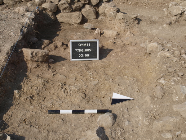
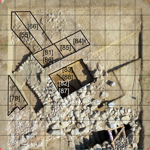
Locus:7786:085 the orange soil, a result of burning but not too intensive, pulverized mud-brick debris in here no large fragments of bricks. Coordinates East 3.60 till 5.05 and North 6.15 till 7.45.Bottom elevation: 282.52
Kollektionen
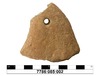
Funde