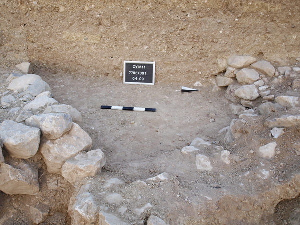
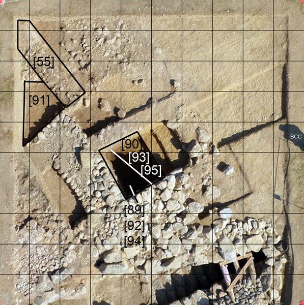
Locus:7786:091 this is in the pace of the former Locus:7786:054 Here the level was brought down to see if the wall base Locus:7786:056 is a real wall foot or not and to see is Locus:7786:055 is a wall at all or not. What did became visible is that the wall Locus:7786:056 and Locus:7786:048 stand on the north side in a foundation trench which is circa 10 - 15 cm wider than the wall itself. This was also observed on the east side of wall [48]. The stones of wall [56] do go deeper but wall [55] is still not clear. Later in the day a special cleaning took place of [55] and it is for sure something if not a wall!
Bottom elevations n 282.65 and s 282.71. Coordinates East 0.60 till 2.15 North 5.45 till 7.40